Wyatville Loop: 45.57 miles
Comments: Ride Time was 3 hours 44 minutes, average speed: 12.1
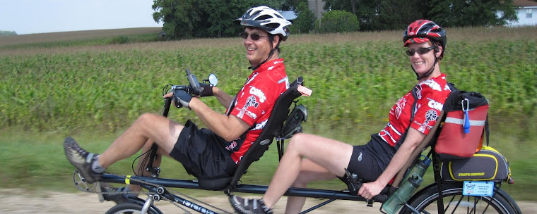
This was a beautiful new route. Many scenic views from atop each hill we climbed. We even experienced 2 category 5 climbs on this route and travelled on a newly paved surface that took us down a steep hill that ended at CR 25. Dennis rode the breaks down the complete hill—this must be what a mountain pass is like. I had the camera in hand snapping pictures as we glided down this mountainside. What an awesome feeling.
We cranked for 30 miles before resting for lunch at Brewskies in Utica and then decided to make this route a loop by biking towards St. Charles along Hwy 14. While mapping this route on MapMyRide.com, we realized that the climb out of St. Charles is also classified as a category 5 climb—never realized that. No rain today just puffy white clouds and temps in the low 80’s making for an excellent day out on the tandem.
Information about Climbs
For any climb to be rated (receive a climb score/category) it must be at least 500 meters in length with an average grade of 3% or more.
All climb scores are based on distance, grade/elevation change, and maximum elevation. The combination of these factors drives all final climb categories and there is no subjective analysis used in the final scoring of any climb score. All other climbs that do not meet the criteria for HC to Cat 5 are simply too small to rate. The original concepts for the categorization of all climbs came from the categorized climb ratings given by the UCI for races like the Tour de France and other professional cycling events.
Sunday, June 26, 2011
A New Neighborhood Route


Subscribe to:
Post Comments (Atom)
No comments:
Post a Comment