Bucksnort Loop: 55.09 miles
TANDEM Pedal Time: 4 hours 30 minutes, average speed 12.2
2940 feet of climb!
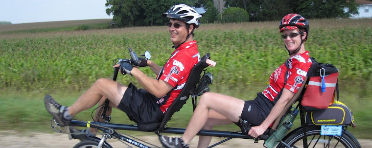
Bike riding was the only thing on our “to do” list today. We planned a route from home to Lanesboro to pick up the Root River Trail towards Fountain where we planned on biking the scenic back roads to Chatfield. We were unsure of the quality of Keeper, Kindred and Juniper roads so we stopped at the grocery store in Fountain to ask for advice. The butcher here was very friendly and even though he was busy, he took the time to advise us to stay clear of Hwy 52 and the three unknown roads which were gravel. He suggested we take Fillmore County Roads 8 to 11 for a valley view route to Chatfield. We took the butcher’s advice but instead of heading to Chatfield, we found ourselves in Bucksnort. The only structure left in this town was a dam. We stopped here to rest before tackling the climb necessary to put Bucksnort behind us.

We were now rested and ready to climb. We powered up one hill after another until we came to the quiet village of Pilot Mound. What beautiful surroundings. High on a hill we saw an American flag waving at us and welcoming us to town. This sure would be a nice place for a beverage stop but the only thing left in town was a forgotten rock sculpture that once clearly displayed the name of the village but has now eroded away and only a few letters were legible.

Back in our neighborhood, we began to see familiar sights. The round barn is our sign that this journey would soon be ending. Our exploration today led to a new route for us to enjoy. We did not make it to Chatfield today, but Bucksnort was a worthy substitute.
No comments:
Post a Comment